

Te Awa app for iPhone and iPad
Developer: David Erasmus
First release : 30 May 2015
App size: 206.71 Mb
Te Awa is a cycle trail along the Waikato River - the longest and most significant river in New Zealand. The trail will eventually be 70km long and is mostly on good surfaces that are traffic-free.
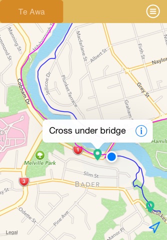
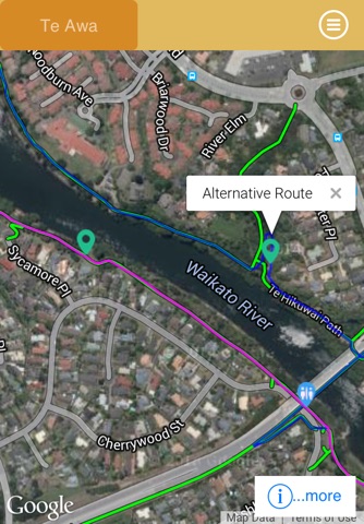
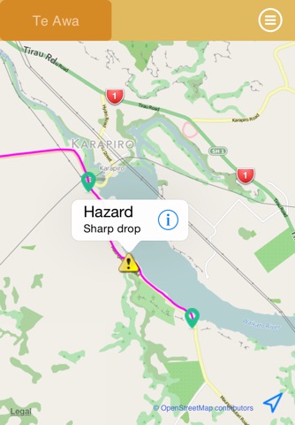
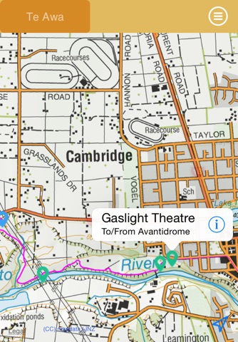
This application shows the current off-road and on-road routes, together with alternatives and access routes. Trail information - water, toilets, easily accessible cafés and some accommodation options are marked - together with photographs that help to make the route clear. Your current location is shown - using GPS.
You can choose to show the trail on Apple Maps or Google Maps (including satellite or aerial views), or overlay data from Open Street Maps. Choose the map that is best for the information you require. You can also overlay LINZ maps (from Land Information New Zealand) - which have the advantage of being available offline.
You do not need a subscription to use the App and it does not contain either InApp purchases or advertisements. Although designed for an iPhone, you can use it on a GPS-equipped iPad.